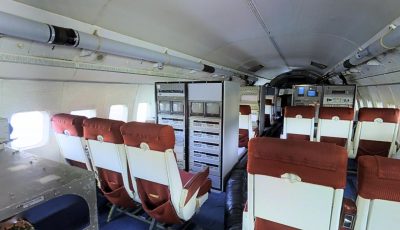
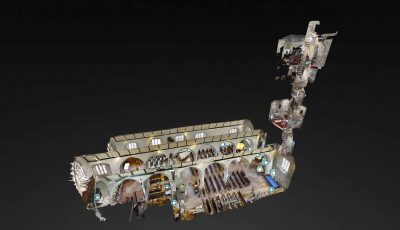
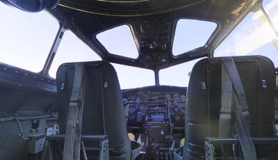
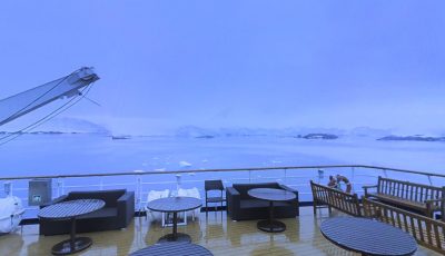
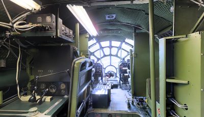
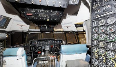
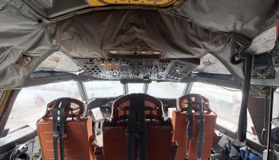
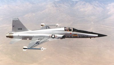
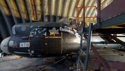
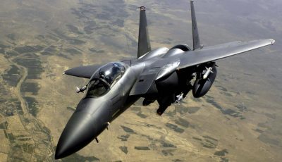
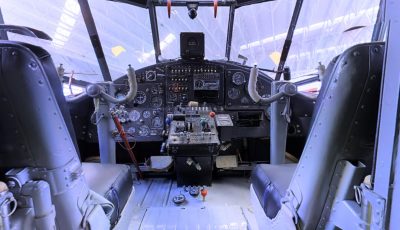
Operation IceBridge (OIB) was a NASA mission to monitor changes in polar ice by utilizing airborne platforms to bridge the observational gap between the ICESat and ICESat-2 satellite missions. The program, which ran from 2009 to 2019, employed various aircraft equipped with advanced instruments to measure ice elevation, thickness, and underlying bedrock topography. The data collected helped scientists understand ice dynamics, contributing to predictive models of ice and sea-level rise. IceBridge played a crucial role in discovering the longest canyon on Earth beneath the Greenland ice sheet.
Information sourced from Wikipedia, licensed under CC-BY-SA.
Educational Lesson Plans
Enhance your classroom experience with our comprehensive educational lesson plans designed to accompany this virtual tour. Each lesson plan aligns with national educational standards and includes pre-tour activities, guided exploration questions, discussion prompts, and post-tour assessment materials. Perfect for grades K-12 and higher education.
Share This Virtual Tour
Know someone who would enjoy this virtual field trip? Share this 3D tour with teachers, students, friends, and family. Virtual field trips make learning accessible to everyone, regardless of location or ability to travel.